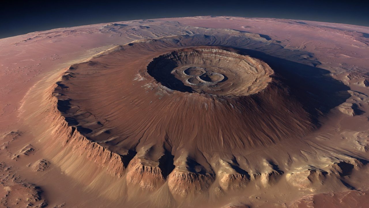
Olympus Mons is a shield volcano on the northwestern flank of the Tharsis rise, and it is the largest volcano known on Mars. The summit stands about 22 km above the areoid. Measured from the low plains to the northwest, the relief approaches 26 km. [1]
The edifice is roughly 600 km across. Some accounts put the full footprint nearer 700 km, an area often compared with Arizona. The average slope is only a few degrees. A cliff, the basal scarp, rises several kilometers around much of the foot. The picture on this page is steeper than the real mountain.
Why it grew so large
Mars has no plate tectonics of the Earth kind. A hot spot can feed the same patch of crust for a very long time, and the lower gravity lets a lava pile stand higher before it spreads. Olympus Mons is the extreme case of that habit.
The summit holds a nest of calderas, collapse pits from emptied magma chambers, tens of kilometers across and several kilometers deep. Lava flows on the flanks include surfaces that crater counts mark as young on a planetary scale, within the last few tens of millions of years, and some younger still. 'Young' here does not mean an eruption witnessed by a mission.
How to read the height
Earth's Mount Everest is 8.85 km above sea level. Olympus Mons is not two stacked Everests in any simple sense, because the zeros differ. Above the Martian datum the summit is about 22 km. From the surrounding northwestern plains the mountain is taller still, approaching 26 km. NASA's public facts have also described the volcano as more than 25 miles from base to summit, which is the looser base-to-peak figure. [1]
The mountain sits in the same volcanic province as the Tharsis Montes, but it is off the main bulge. The weight and growth of Tharsis are tied to the opening of Valles Marineris farther east.
See also
What links here
References
- NASA Science. Mars: Facts. Olympus Mons and Valles Marineris entries. https://science.nasa.gov/mars/facts/