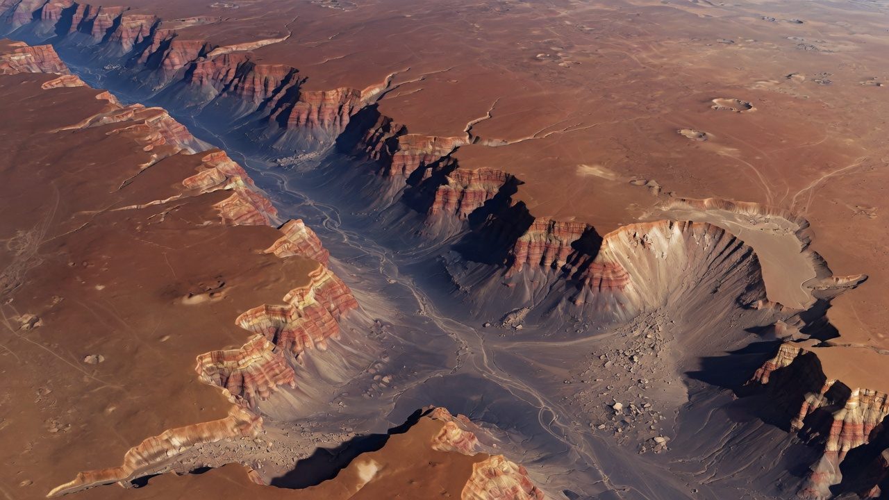
Valles Marineris is a canyon system east of Tharsis. NASA's figures give it a length of about 2,400 miles (3,870 km), a greatest width of about 370 miles (600 km), and a greatest depth of about 5.8 miles (9.3 km) from rim to floor. It is the largest canyon system known. [1]
The name honors Mariner 9, the orbiter that mapped it after a global dust storm cleared in 1972. The system is not a single river gorge. It opened by tectonic stretching as Tharsis loaded the crust, and landslides, erosion, and some water reworked the walls afterward.
Pieces of the system
From west to east the troughs change name: Noctis Labyrinthus is a maze of grabens, the main chasms include Ius, Melas, Coprates, and Eos, and the eastern end breaks into outflow channels that run toward the northern lowlands. Those channels are part of the evidence gathered on Water on Mars.
Walls expose a stack of rock kilometers thick. That stack is one of the few places where orbiters can read a vertical section without a rover climb.
Not the Grand Canyon, scaled
The Grand Canyon is both shorter and narrower by a wide margin. Valles Marineris is also a different kind of wound: rift-like troughs first, water later, rather than a river sawing a plateau. Dust, slides, and wind still move sediment on the floor.
See also
What links here
References
- NASA Science. Mars: Facts. Canyon figures. https://science.nasa.gov/mars/facts/